 |
| This pic shows a good example of the steep incline. |
 |
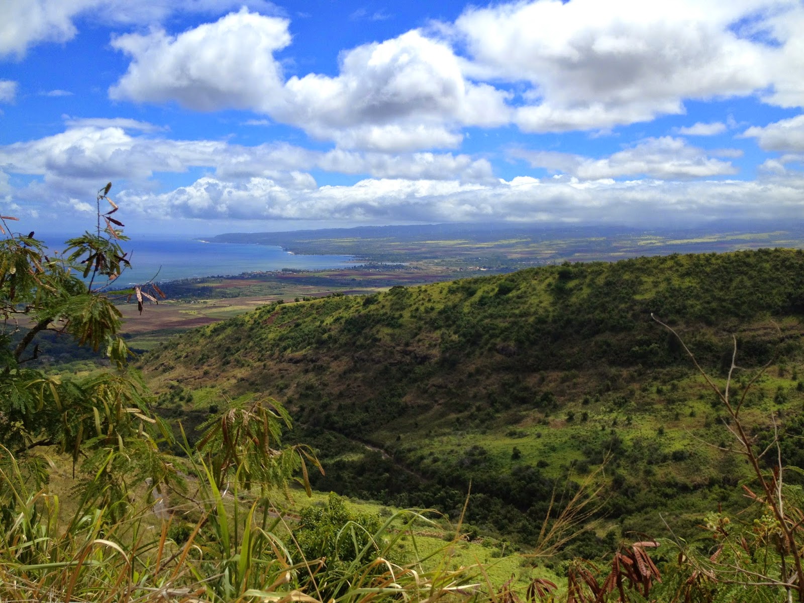
| Another great shot of the North Shore from the Mokuleia side. |
 |
| At this point this is about the half way point about 2-2 1/2 miles up. |
 |
| This is a spectacular view of the Mokuleia side going out towards Kaena Point. |
 |
| Our destination was the ridge line of trees to the right. Although it looks close, the road start to increase in steepness making it feel further away than it really was. |
 |
| This is a view of both sides of the valleys that the trail winds its way through. |
 |
| We stay! |
 |
| After reaching the campgrounds, Bev and I hiked another 1/2 mile in up a dirt road and found this rock in the middle of the woods where we could stop to have lunch. |
 |
| Lunch never looked so good and water never tasted better! |
 |
| Don't forget about a banana to help out with leg cramps! |
 |
| What do you know! Looks like we reached Camp SXA out in the middle of nowhere! |
 |
| Wish we had a 4 Wheel drive to navigate through these steep windy trails. Would've been rad to go all the way to the top to see the Makaha / Waianae side of the island. |
 |
| Happy campers here! The SXA truckers came in handy providing shade and keeping us cool (literally)! |
 |
| Time to head back down. It's way faster going back down. Probably takes about 45 minutes to an hour versus and hour and 45 minutes coming up. It's pretty hard on these old knees though! |
 |
| Once you make it down successfully, you have choices of beach to which you can cool off and wash away all the fatigue and sweat from your tired and weary body. We really are lucky to live in Hawaii! |


